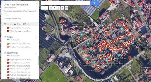
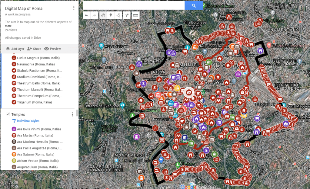
Roman Cities
Step into the heart of the Roman Empire through the lens of our meticulously crafted digital maps, as we invite you to explore the urban landscapes that defined an era of grandeur and sophistication. Our website is a gateway to a captivating journey through the splendor of Roman cities, offering an unprecedented view into the architectural marvels, intricate layouts, and dynamic life within the ancient metropolises.

With a fusion of historical research and cutting-edge mapping technology, our digital maps bring to life the streets, forums, and monuments of Rome and its provincial counterparts. Immerse yourself in the hustle and bustle of the Eternal City, witness the meticulously planned grids of colonies like Ostia Antica, and marvel at the strategic layouts of military outposts scattered across the vast empire.
Navigate through time as you explore the evolution of iconic cities such as Pompeii, Ephesus, and Carthage, unearthing the layers of history beneath each virtual step. Engage with interactive features that reveal the intricacies of Roman infrastructure, from aqueducts to amphitheaters, and witness the vibrant social, economic, and cultural dynamics that shaped these urban centers.
Whether you are a history buff, an architecture aficionado, or simply curious about the daily life of ancient Romans, our digital maps offer a dynamic and immersive experience. Welcome to a virtual exploration of Roman urbanity, where the echoes of chariots, marketplaces, and forum discussions beckon you to rediscover the timeless allure of the cities that once stood as the epicenters of a mighty empire.