Ancient Maps
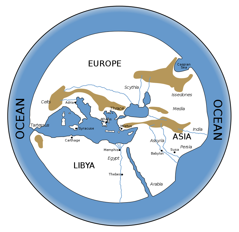
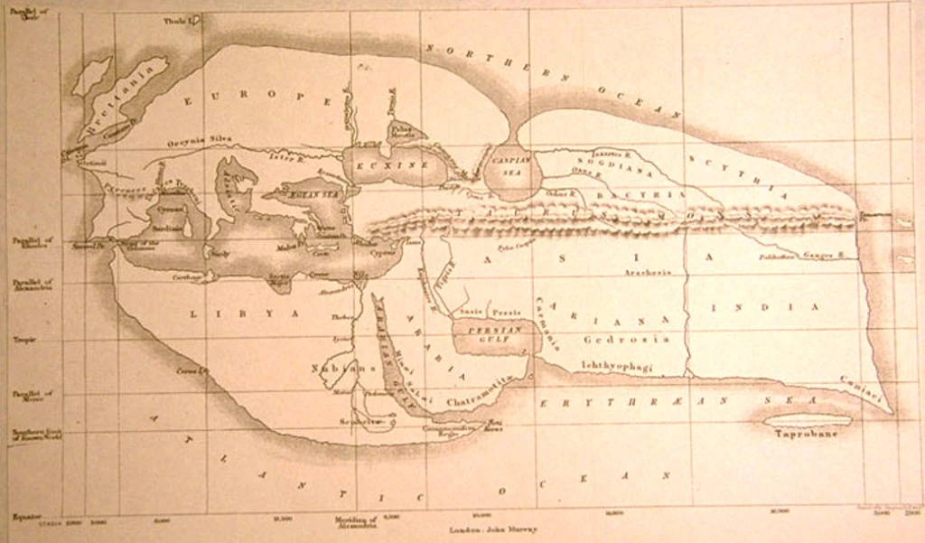
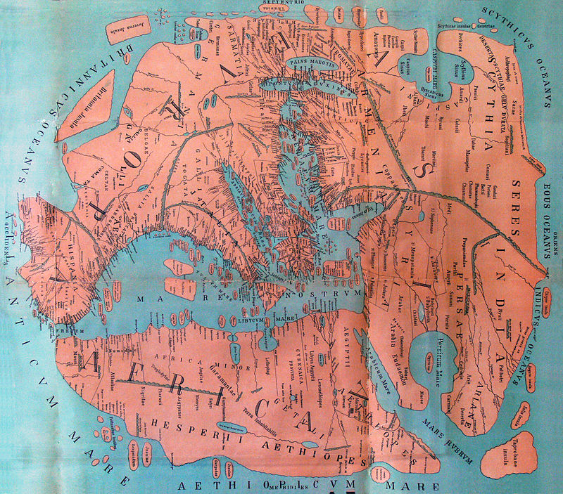
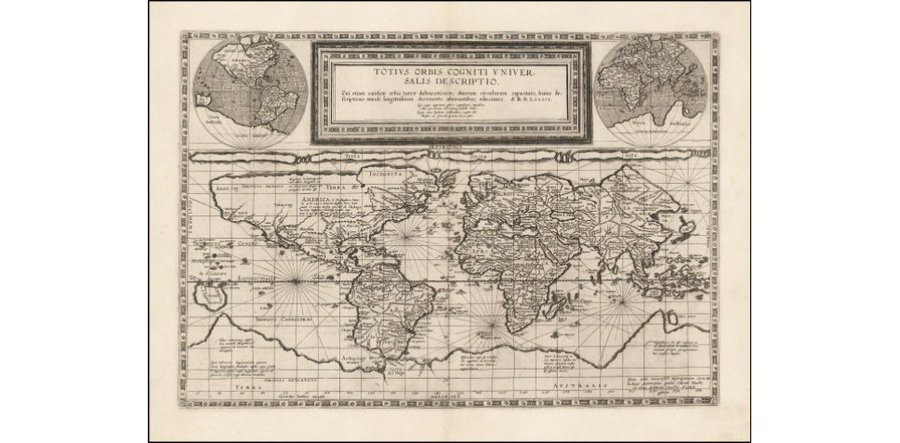
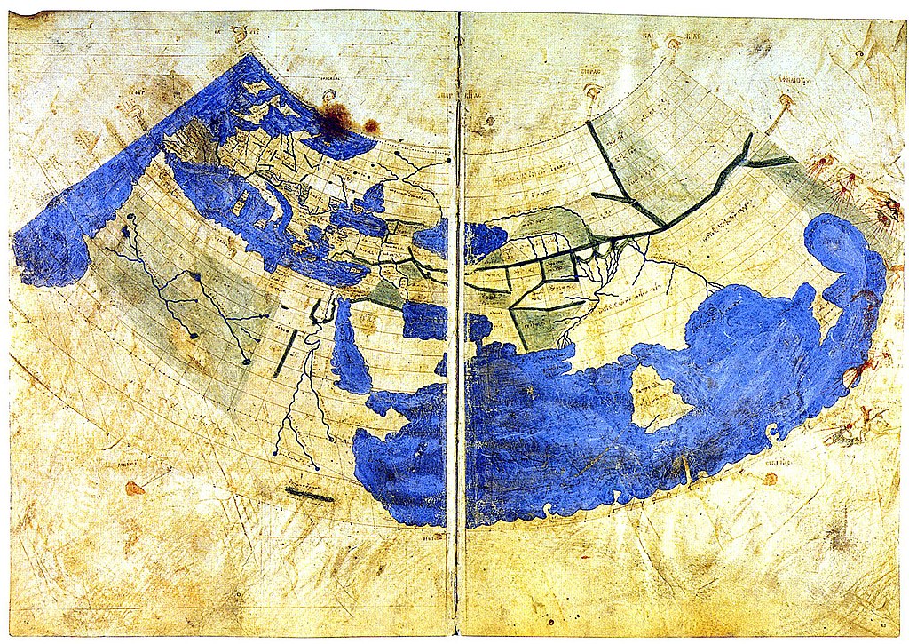
Welcome to an ancient cartographic journey where the artistry of maps converges with the perspectives of individuals who navigated the landscapes of antiquity. Our website is a portal to the unique cartographic creations of individuals living in the ancient world, offering a glimpse into their interpretations of the known and the mysterious.
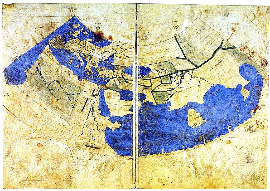
In an era devoid of satellite imagery and GPS, maps became intricate expressions of personal experiences, cultural knowledge, and the boundaries of the known world. Join us as we unravel the hand-drawn masterpieces that adorned the scrolls, parchments, and walls of ancient civilizations, revealing the geographical imaginings of explorers, traders, and adventurers.
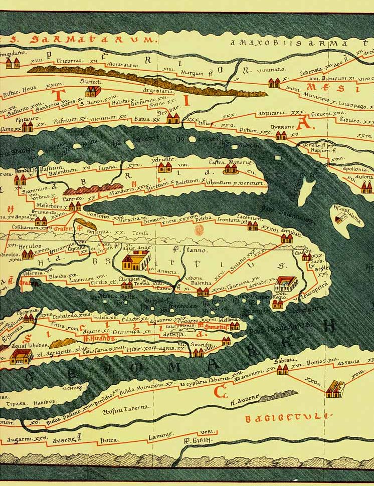
Encounter the meticulously detailed maps of ancient cities, trade routes, and sacred landscapes that reflect the keen observations of those who walked the ancient streets. Explore the symbolic representations and artistic flourishes that adorned these historical cartographic creations, providing insights into the cultural, religious, and economic perspectives of their creators.
Through captivating narratives, vivid visuals, and insightful analyses, our digital archive invites you to witness the cartographic endeavors of individuals from diverse ancient cultures. Whether etched onto clay tablets, sketched onto papyrus, or carved into stone, these maps are not only geographic guides but windows into the worldview of their makers.
Whether you are a history enthusiast, a lover of ancient art, or someone captivated by the evolution of human understanding, join us on this virtual expedition. Welcome to a digital Atlas of Antiquity, where the echoes of ancient footsteps and inked quills beckon you to explore the timeless maps that have charted the course of history.


